Road closures for the Great Scottish Run 2026
19 Aug 2026
Please find below, restrictions relating to the Great Scottish Run 2026.
Roads affected and dates and times of restriction applying to all vehicles except for emergency service vehicles carrying out an emergency response or vehicles given permission by Glasgow City Council events section.
Prohibition of loading, unloading and waiting
15:00hrs on the 2 October 2026 until 16:30hrs on the 4 October 2026 and
Prohibition of vehicle movements
05:00hrs to 16:30hrs on the 3 October 2026
Greendyke Street between Turnbull Street and London Road
Charlotte Street between Greendyke Street and London Road
Prohibition of loading, unloading and waiting
15:00hrs on the 2 October 2026 until 16:30hrs on the 4 October 2026 and
Prohibition of vehicle movements
04:00hrs to 17:30hrs on the 4 October 2026
- A814 (eastbound), Finneston Street off Ramp
- A814 (eastbound), Finneston Street on Ramp
- A814 (westbound), Finnieston Street off Ramp
- Anchor Lane, for its whole length
- Anderston Quay, for its entire length
- Argyle Street, (Westbound), between Finnieston Street and St Vincent Street
- Argyle Street, from Berkeley Street to Finnieston Street
- Argyle Street, from Elliot Street to Finnieston Street
- Blythswood Street, between Blythswood Square and Bothwell Street
- Bothwell Street, between Wellington Street and Hope Street
- Broomielaw, for its entire length
- Broomloan Road, between Edminston Drive and Paisley Road West
- Carnoustie Street, between M74 off ramp and Scotland Street
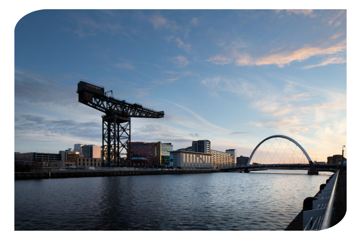
- Clyde Arc Bridge, for its entire length
- Clyde Place, between George V Bridge and Glasgow Bridge
- Clyde Street, for its entire length
- Cochrane Street, for its whole length
- Commerce Street, between Kingston Street and Clyde Place
- Crown Street, from Saltmarket to Ballater Street
- Douglas Street, between Bothwell Street and St Vincent Street
- Dumbreck Road, between Paisley Road West and Titwood Road
- Dunlop Street, between Howard Street and Clyde Street
- Elderslie Street, between Dorset St and William Street
- Elmbank Street, between Elmbank Crescent and St Vincent Street
- Finnieston Quay, between Tunnel Street and Clyde Arc Bridge
- Finnieston Street, between Argyle Street and A814 Finnieston Street Off Ramp
- Finnieston Street, between Stobcross Road and Clyde Arc Bridge
- George Square, south side, for its entire length
- George Square, north side, for its entire length
- George Street between North Frederick Street and Albion Street
- George V Bridge, for its entire length
- Glasgow Bridge, for its entire length
- Gorbals Street, between Norfolk Street to Clyde Street
- Govan Road, between Clyde Arc Bridge and Pacific Drive
- Govan Road, between Lorne Street and Pacific Drive
- Greendyke Street, between Turnbull Street and Saltmarket.
- Haggs Road, between Titwood Road and Shawmoss Road
- Holland Street, between West George Lane and St Vincent Street
- Hope Street, between Waterloo Street and West George Street
- John Street, between Martha Street and George Street
- Lancefield Quay, for its entire length
- Lorne Street, between Paisley Road West and Govan Road
- M77 Northbound, off ramp to Dumbreck Road
- Mosspark Boulevard, between Dumbreck Road and Tanna Drive
- Montrose Street North Between George Street and Richmond Street
- Montrose Street South between Cochrane Street and George Street
- Newton Street, between Elmbank Crescent and St Vincent Street
- Nelson Mandela Place for its entire length
- North Hanover Street between George Square and Cathedral Street (access maintained to train station yard for authorised vehicles when safe to do so)
- Pacific Drive, between Govan Road and Finnieston Street
- Paisley Road West, between Helen Street to Paisley Road
- Paisley Road, between Paisley Road West and Seaward St
- Pitt Street, between Bothwell Street and St Vincent Street
- Renfield Street, Between West George and St Vincent Street
- Saltmarket (Northbound), between Clyde Street and Bridgegate.
- Saltmarket (Southbound), from St Andrews Street to Clyde Street
- Scotland Street, for its entire length
- Seaward Street, between Scotland Street and Paisley Road
- South Frederick Street, for its whole length
- St Vincent Place, for its entire length
- St Vincent Street, for its entire length
- Stockwell Street, between Bridgegate and Clyde Street
- Wellington Street, between West George Street and St Vincent Street
- West Campbell Street, between St Vincent Street and Bothwell Street
- West Nile Street, West George Street and Gordon Street
- West Street between Cook Street and Scotland Street
- West George Street between West Nile Street and George Square
Prohibition of vehicle movements
04:00hrs to 14:00hrs on the 4 October 2026
- M8 Kingston Bridge (northbound), North Street off ramp
- M8 Kingston Bridge (northbound), 2 western lanes
- M8 Kingston Bridge (northbound), Stobcross Street off ramp
- M8 Kingston Bridge (northbound), West Street on ramp
Prohibition of vehicle movements
04:00hrs to 15:00hrs on the 4 October 2026
- M74 off-slip to Seaward Street (lane restrictions)
- M74 northbound junction 1 off ramp (lane restriction) to Carnoustie Street
Prohibition of vehicle movements
04:00hrs to 16:30hrs on the 4 October 2026
- M8 westbound junction 23 off ramp to Dumbreck Road
- M77 Junction 1 southbound off ramp to Dumbreck Road
Suspension of bus lane restrictions
04:00hrs on 4 October 2026 to 16:30hrs on 4 October 2026
- LW0145 - Argyle Street, (Eastbound), between, Hope Street and Union Street
- LW0138 - Glassford Street, (Northbound), between Argyle Street and Ingram Street
- LW0630 - Gorbals Street, Victoria Bridge, (Southbound), between Clyde Street and Norfolk Street.
- LW0756 - West George St / Nelson Mandela Pl, (Eastbound) between West Nile Street and George Square
- LW0832 - Oswald Street, (Northbound) between Midland Street and Argyle Street
- LW3372 - George Square (Westbound) between Hanover Street and South Frederick Street
- ----------- - Govan Road, (Eastbound), between, Pacific Drive and The Clyde Arc (Fastlink)
- ----------- - Ingram Street, (Eastbound), between Queen Street and South Frederick Street
- ----------- - Jamaica Street, (Northbound), between Howard Street and Argyle Street
- ----------- - The Clyde Arc, (Northbound), between, Govan Road and Finnieston Quay (Fastlink)
Reason for Restrictions
The safety of the event and other road users.
“vehicle” unless the context otherwise requires, means a vehicle of any description and includes a machine or implement of any kind drawn or propelled along roads whether or not by mechanical power;
“emergency service vehicle” means a vehicle being used by the Police, Fire or Ambulance Services to also include NHS blood transfer vehicles.